



Makalu Base Camp Trek – 19 Days

Duration
19 Days

Max Altitude
4,870 m. / 15,978 ft.

Difficulty
Moderate

Group Size
2-20 Pax

Meals
- 19 Breakfast
- 18 Lunch
- 18 Dinner

Accommodation
- Teahouse
- Hotel

Transportation
Flight, Private Vehicle

Activities
- Trekking
- Sightseeing

- Your safety, our no 1 priority
- Best price guarantee
- Experienced & dedicated team
- Easy booking, no hidden charge
- You can customize this trip



Talk to Travel Expert
Samundra Rimal (+977-9843127084)
Introduction of Makalu Base Camp Trek – 19 Days
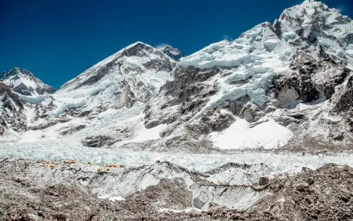
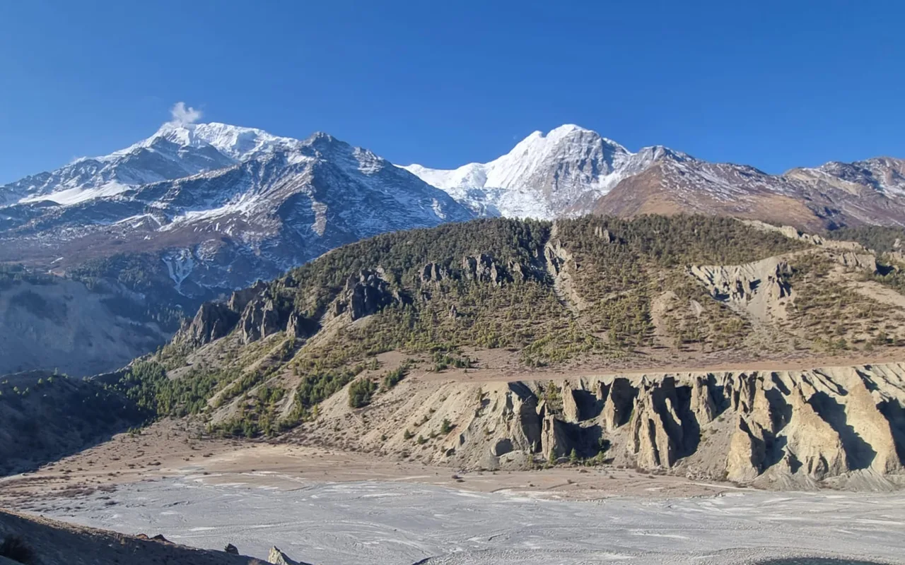
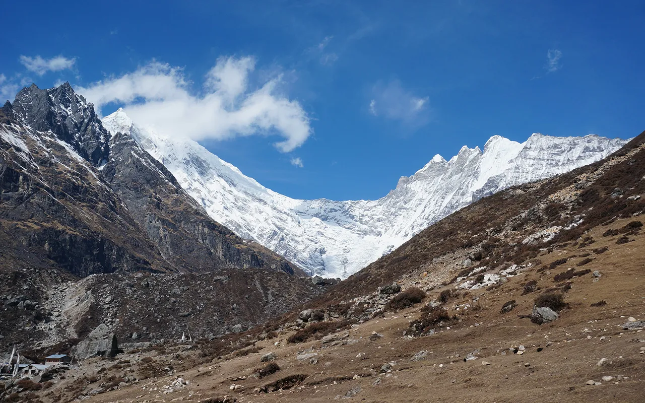
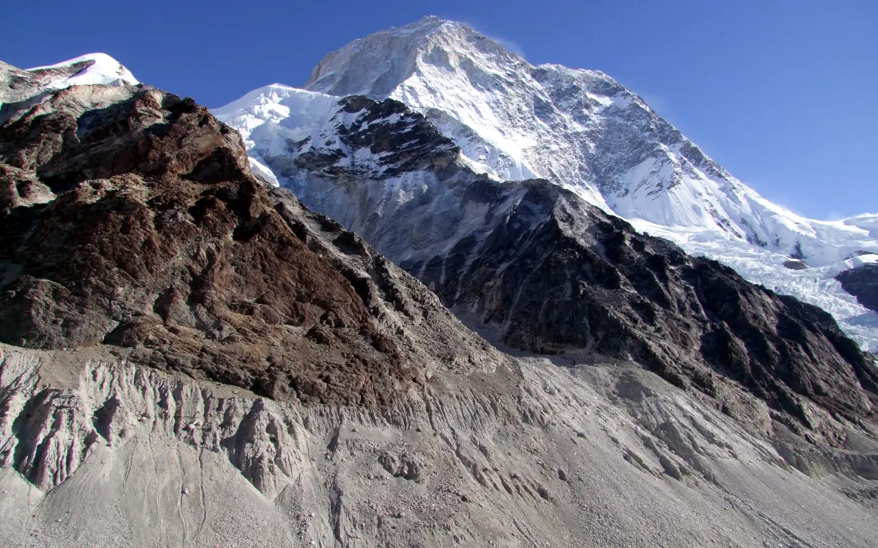
The Makalu Base Camp Trek is a challenging Himalayan journey for trekkers who want to explore a remote part of eastern Nepal. The trail winds through traditional villages, through the forested hills and through river valleys, through alpine meadows, through rugged mountain scenery and finally to the base of the fifth-highest mountain in the world, Mount Makalu (8,485 m / 27,838 ft). This place is not as crowded as the other more popular trekking areas and offers a more serene way to experience mountain life and nature.
It starts with a flight from Kathmandu to Tumlingtar and then a drive to Chichila, the starting point for walking. Then you will pass through the settlements of Num, Seduwa, Tashi Gaon, etc. and head towards Khongma Danda. The trail then traverses high passes and heads into the Barun Valley to reach Makalu Base Camp (4,870 m / 15,978 ft). As you make your way, you’ll see the different vegetation, farming ways and mountain perspectives that get more noticeable as you ascend.
The Makalu Base Camp Trek is approximately 19 days long, encompassing the trek from Kathmandu, acclimatisation, time at base camp and return to Kathmandu. The walking days include some ascents, long descents and rough going and some physical fitness and preparation is needed. An acclimatization day at Khongma Danda is offered to help you acclimate before moving up to higher elevations. The weather can turn bad very fast and pitches will get easier in more remote areas of the route.
This hike is for the walker who prefers to walk through less developed mountain areas and who is familiar with the basic teahouse facilities. Meals during the trekking section are generally provided on a full board basis, including breakfast, lunch and dinner, according to the package arrangements. Also, be ready for reduced mobile phone reception, charging and basic amenities and possible cancellations or changes to domestic flights or road transport due to weather and local conditions.
The Makalu trekking package offers you one of the lesser-trodden routes in the Himalayas, but with appropriate precautions and support, you can enjoy it at a comfortable speed. For trekking permits, accommodation, transport and guide support as offered in your package, please contact Nomad Adventure Treks. Talk to our team about your travel dates, fitness level and any pre-trip concerns and then gain a better understanding of the route and its challenges to plan your trip to Makalu Base Camp.
Trip Highlights
- The Makalu Base Camp trek is an adventure to remote landscapes in eastern Nepal, the Himalayas
- Come to the Base Camp of Makalu (4,870 m / 15,978 ft) in the shadow of the fifth highest peak in the world
- Over high passes, including Shipton La and Keke La, overlooking views of surrounding peaks
- Stroll through rhododendron woods, bamboo forests, alpine meadows and through the traditional villages on the hillside
- Go through the Barun Valley with rocky terrain, glacial landscape and seasonal yak pastures
- Enjoy life in a local village in the villages of Seduwa, Tashi Gaon and Num
- Enjoy mountain views of Makalu, Chamlang and other Himalayan peaks along the route
- Take a day off from the trek to acclimatize at Khongma Danda
- Visit the surroundings of Makalu Base Camp and shoot photos of glaciers, rocky valleys and snow-covered mountains
- Enjoy a more reserved hiking experience, simple teahouse lodging and fewer tourist crowds than in the more popular areas of Nepal.
Detail Itinerary of Makalu Base Camp Trek – 19 Days

Day 01: Fly from Kathmandu to Tumlingtar and Drive to Chichila
Breakfast in Kathmandu followed by a transfer by your guide to Tribhuvan International Airport, where you will fly into Tumlingtar. The duration of this flight is about 35-50 minutes depending on schedule and weather. If you get a clear sky there, you will be able to see some Himalayan peaks on the way to eastern Nepal.
You’ll arrive at Tumlingtar Airport, then pick up your local driver and head off in your jeep to Chichila. The drive is about 3-4 hours long, passing through hills, villages and farmland. Road conditions may affect the travel time.
From Chichila (1,980 m/6,496 ft), the trekking part of this itinerary begins. Once you arrive in the village, you will be able to stay at a local teahouse before starting the first day’s hike!

Activity: Domestic flight and jeep drive, 35 to 50 minutes by flight and 3 to 4 hours by road

Max. Altitude: 1,980m/6,496ft. Chichila

Meal: Breakfast, Lunch, Dinner

Accommodation: Teahouse
Day 02: Trek from Chichila to Num
Breakfast is served and then a trek starts from Chichila towards Num. There are forested hills, small settlements and areas of cultivated land along the trail. Slowly, it will take you down through patches of rhododendron and bamboo with the occasional glimpses of the surrounding valleys. Some parts of the path are uneven and may be slippery after rain.
There are a couple of inclines to make the walk at a reasonable pace. Your guide will arrange suitable breaks along the way.
The settlement of Num lies at a height of around 1560 m (5118 ft) on the hillside. It is an essential point on the Makalu Base Camp trek on the day before the arduous trek down to the Arun River. Once you reach your destination, you will stay in a local teahouse, have dinner and sleep before you start travelling further.
Activity: Trekking through forests, farmland and hillside settlements, 3 to 4 hours
Max. Altitude: 1,980m/6,496ft. Chichila
Meal: Breakfast, Lunch, Dinner
Accommodation: Teahouse
Day 03: Trek from Num to Seduwa
Following breakfast, head down to the Arun River, following a steep descent from Num. The trail passes through some forested slopes and terraced farmland; there are areas of the walk that may need careful footing. The drop is steep, so pacing and using trekking poles can help minimise strain on knees.
You’ll cross the Arun River on a suspension bridge at the bottom of the valley. It then heads up to Seduwa, passing through forests and cultivated fields. The climb can be physically demanding, especially following the steep descent, so make sure to take breaks and drink plenty of fluids.
It is located at about 1500m (4921 ft) and can be reached in the trekking region of Makalu Barun National Park. Permits may be inspected at a designated point before continuing to the village. Then it’s on to Seduwa, where you will enter a teahouse and have dinner before setting off on the next day’s hike.
Activity: Steep descent, suspension bridge crossing and uphill trekking to Seduwa, 5 to 6 hours
Max. Altitude: 1,560m/5,118ft. Num
Meal: Breakfast, Lunch, Dinner
Accommodation: Teahouse
Day 04: Trek from Seduwa to Tashi Gaon
After breakfast, you will continue from Seduwa towards Tashi Gaon. The path rises in the fields, through woods and small villages clinging to the hillside. This route is set up for a gradual increase, but is not necessarily a steep one, when compared to the day before.
You will enter the vicinity of Hindrungma and Rupisa, showcasing numerous traditional houses and terraced farmlands, presenting a glimpse into rural life in eastern Nepal. A suspension bridge is also used to cross a river on the trail before heading towards Tashi Gaon.
Tashi Gaon (2100m /6890ft) is the last major village on this approach to Makalu Base Camp. The path leads up from the settlement to the higher passes of Khongma Danda. Upon arrival, you will be given a room at a local teahouse, eat and get ready for the more challenging climb to come.
Activity: Uphill trekking through farmland, forests and villages, 4 to 5 hours
Max. Altitude: 2,100m/6,890ft. Tashi Gaon
Meal: Breakfast, Lunch, Dinner
Accommodation: Teahouse
Day 05: Trek from Tashi Gaon to Khongma Danda
The trail of today is a continuous ascent from Tashi Gaon to Khongma Danda. Once breakfast has been had, the trip out of the village will be through rhododendron woods, with a steep ascent. The trees thin out as you rise in altitude and the trail is revealed on higher terrain and grazing lands.
Along the way, you will pass resting places, such as Dhara, where a natural water source allows you to take a break. Your guide will make a place to rest and stop for lunch before you head back up the hill. This is strenuous uphill work and particularly hard going as the air thins out.
The Khongma Danda is located around 3,500 m (11,483 ft). The ridge offers views of the surrounding mountain scenery, including Chamlang and some peaks when visibility is clear. Upon arrival at the teahouse, you can take a rest, drink water and get ready for acclimatization day. The steep climb is also a factor to consider – it is important to be aware of how you are feeling and to report any symptoms of altitude sickness to your guide.
Activity: Steep uphill trekking through forests and mountain pastures, 6 to 7 hours
Max. Altitude: 3,500m/11,483ft. Khongma Danda
Meal: Breakfast, Lunch, Dinner
Accommodation: Teahouse
Day 06: Acclimatization Day at Khongma Danda
This is the day that is dedicated to acclimatization at Khongma Danda. If you have the time, one more day spent around 3500m (11,483ft) will allow your body to get used to the higher altitudes before you move on to the next higher pass. This is designed to keep things light rather than embark on a new challenging trekking stage.
After breakfast, you can explore the settlement and surrounding countryside on a short, gentle walk. The route will be recommended by your guide, which will depend on the weather and your condition. Try not to do too much activity, drink water frequently and advise your guide if you suffer from headache, dizziness, nausea, or unusual tiredness.
Khongma Danda is situated in the mountain area where Sherpa people live. Some chances to learn about the life and customs of the village may be available, depending on the local situation. There are also opportunities for a short visit to enjoy the mountain views from appropriate viewpoints.
Come back to the teahouse for lunch and dinner. In the afternoon, rest, tidy up and pack up for the mountain passes ahead of the trek.
Activity: Acclimatization, gentle walking and exploring the surrounding area, 2 hours of walking
Max. Altitude: 3,500m/11,483ft. Khongma Danda
Meal: Breakfast, Lunch, Dinner
Accommodation: Teahouse
Day 07: Trek from Khongma Danda to Dobato via Shipton La and Keke La Passes
On the morning after waking up in Khongma Danda, you will travel to Dobato, passing through the high mountain passes. It’s one of the more strenuous days on the trail due to the steep grades, the exposure and the capricious weather.
The route goes over Khongma La before turning to Shipton La Pass (4229 m/13,875 ft) and then to Keke La Pass (c. 4170 m/13,681 ft). The exact order and conditions of the trail vary according to the local route. When visibility is good, these high crossings offer views of the surrounding mountains.
Once over the passes, you then head down towards Dobato (also spelled Dobate). It is located at a height of about 3650m (11975ft) according to the settlement’s center, but published itineraries have slightly different heights. After the long crossing, on arrival you will be transferred to a local tea house and then enjoy dinner and sleep.
Activity: Trekking across high mountain passes and descending to Dobato, 6 to 8 hours
Max. Altitude: 4,229m/13,875ft. Shipton La Pass
Meal: Breakfast, Lunch, Dinner
Accommodation: Teahouse
Day 08: Trek from Dobato to Yangla Kharka
You will continue on the Barun Valley route, leaving Dobato and heading towards Yangla Kharka after breakfast. The path is mostly in the woods, but also runs on rough terrain along mountain paths, going downhill and uphill. The landscape around it gradually shifts as you move away from the high pass.
There are parts of the trail where Rhododendron and other mountain vegetation grow. Yaks can also be seen grazing in open pastures, depending on the season. As you head towards the interior of the Makalu region, you will get to see different types of vegetation and the river valley along the way.
Also known as Yangle Kharka or Yangri Kharka in some schedules, Yangla Kharka is a seasonal camping ground at around 3557 m (11 670 ft). Its open meadows and surrounding mountain slopes provide an easy place to halt for the night before the trek to Langmale Kharka. Once you arrive, you will take up quarters in the teahouse, eat and go to bed for the next day’s ascent.
Activity: Trekking through forest, river valley and grazing land, 5 to 7 hours
Max. Altitude: 3,650m/11,975ft. Yangla Kharka
Meal: Breakfast, Lunch, Dinner
Accommodation: Teahouse
Day 09: Trek from Yangla Kharka to Langmale Kharka
The hike today leads you even higher in the Barun Valley from Yangla Kharka to Langmale Kharka. Following breakfast, follow an uphill path through alpine meadows, rocky areas and open grazing fields. The more one climbs, the sparser the vegetation is and the more rugged the surrounding landscape.
It is important to climb at a proper pace since there is less air available at higher levels. Your guide will plan rest periods as needed for the group and weather. Yaks can be observed in seasonal pastures, especially in the warmer parts of the year when herders migrate them to higher altitudes.
Langmale Kharka is at an altitude of about 4410 m (14469 ft) and is grazed seasonally. If the sky is clear, you could catch sight of peaks like Chamlang and other mountains which surround the upper Barun Valley. Once you arrive at the teahouse, take a bit of time to rest, hydrate and observe your level of feeling at this height. The next day is another day towards Makalu Base Camp.
Activity: Uphill trekking through alpine meadows and high mountain pastures, 5 to 6 hours
Max. Altitude: 4,410m/14,469ft. Langmale Kharka
Meal: Breakfast, Lunch, Dinner
Accommodation: Teahouse
Day 10: Trek from Langmale Kharka to Makalu Base Camp
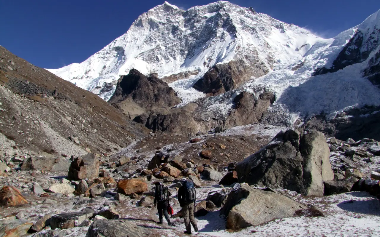
Following breakfast, you will depart from Langmale Kharka and head towards Makalu Base Camp. The path winds through the upper Barun Valley, rocky areas, glacial deposits and uneven terrain. The walk may be difficult due to loose stones and some parts may be snow and ice depending on the time of year and weather.
The terrain becomes more rugged as you near base camp, with glaciers, rocks and snow-capped peaks surrounding the valley. Your tour guide will recommend a safe pace for you and will determine if a particular section is challenging before going over it. Do not rush, especially on a slippery or unstable trail.
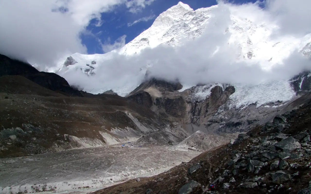
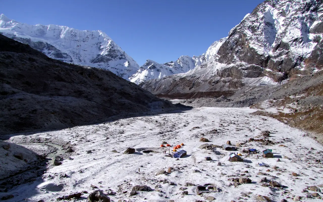
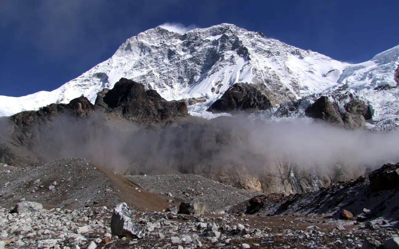
The altitude of Makalu Base Camp is usually 4870 m (15978 ft). Depending on the weather and visibility, Mount Makalu (8,485m/27,838ft) can be seen from the camp. On arriving you will get settled in to the available teahouse accommodation and will get some rest. With the high altitude, it’s essential to keep the rest of the day fairly laid back.
Activity: Trekking through rocky and glacial terrain to Makalu Base Camp, 5 to 6 hours
Max. Altitude: 4,870m/15,978ft. Makalu Base Camp
Meal: Breakfast, Lunch, Dinner
Accommodation: Teahouse
Day 11: Explore Makalu Base Camp
The day will be spent around Makalu Base Camp. Following a brief walk around the camp, you can see the surrounding mountains, glaciers and high-altitude landscape. The day also offers opportunities to take photos and watch the light play over the valley.
Depending on the weather and conditions along the trail, your guide may take you on a walk to a viewpoint or ridge. A short jaunt can offer a broader perspective on the mountains and glacial lakes; the specifics of what’s done and how high one goes will vary by locale. The terrain can be rocky, uneven, or snow-covered and icy, so obey your guide’s instructions.
If the visibility is good, you can see Chamlang, Lhotse and the Kangshung Face (the eastern side of Mount Everest) from some vantage points. A walk of just a few minutes may be exhausting at this height, so plan activities to be manageable and get back to camp in good time. Have lunch and dinner at the teahouse and get a good night’s sleep before heading towards the descent to Yangla Kharka.
Activity: Exploring base camp, photography and an optional guided viewpoint walk, 3 hours for a return excursion
Max. Altitude: 4,870m/15,978ft. Makalu Base Camp
Meal: Breakfast, Lunch, Dinner
Accommodation: Teahouse
Day 12: Trek from Makalu Base Camp to Yangla Kharka
Following breakfast, you will head back from Makalu Base Camp towards Yangla Kharka. The trail goes through rocky ground, glacial deposits and alpine landscapes of the upper Barun Valley. This is an overall downhill route, but quite a tough day with the long distance and hilly terrain.
Along the way, you will see Langmale Kharka. Be careful on loose stone and wet areas, especially areas where the path crosses open land. Your guide will orchestrate stops to keep you on pace and to get you down safely.
Vegetation becomes increasingly visible with decreasing elevation. Along parts of the valley, juniper and rhododendron can be found and open grasslands serve as pasture for yaks during the warmer months. The changing landscape brings you back towards the lower part of the Barun Valley.
You will reach Yangla Kharka, where you will stay at the teahouse and have dinner. Get plenty of rest; this is a long walk to Dobato the next day.
Activity: Descending through the upper Barun Valley to Yangla Kharka, 7 to 8 hours
Max. Altitude: 4,870m/15,978ft. Makalu Base Camp
Meal: Breakfast, Lunch, Dinner
Accommodation: Teahouse
Day 13: Trek from Yangla Kharka to Dobato
The hike today will start at Yangla Kharka and head back to Dobato. Following breakfast, you will be taken through the Barun River valley, through grazing and forested sections. There are sections downhill and there are some uphill sections, so the walk will take some effort.
There may be alterations in vegetation and terrain as you proceed through the valley. The walk is dotted with plants of the mountain, including rhododendron and the river and surrounding slopes offer a rich set of backdrops. With clear skies, it is possible to glimpse Makalu, Chamlang and some of the surrounding peaks from suitable openings along the route.
As you get closer to Dobato, you will come out of the more open pasture. The path may be rough in places; be careful on rocky or slippery areas. Arrive in the settlement and settle at the teahouse; have dinner. This night stop will get you ready for the return climb of the mountain passes the next day.
Activity: Trekking through the Barun Valley and mountain forest, 6 to 7 hours
Max. Altitude: 3,650m/11,975ft. 3,650
Meal: Breakfast, Lunch, Dinner
Accommodation: Teahouse
Day 14: Trek from Dobato to Khongma Danda via Keke La and Shipton La Passes
Following breakfast, you will depart Dobato and follow the route back to Khongma Danda with a climb towards the higher passes of the mountain. Crossing these passes is not new to you, but the ascent and descent are still matters of concern. In some areas, the trail is rocky and steep; visibility and footing could be impacted by changing weather.
The route traverses Keke La Pass (4,170 m /13,681 ft) and Shipton La Pass (4,229 m /13,875 ft); the exact sequence of passes will vary depending on the local trail alignment. On clear days, the crossings offer opportunities to see mountains surrounding the crossings. Avoid spending excessive periods of time in cold or changing conditions, but take appropriate breaks.
Once they have crossed the passes, they will head towards Khongma Danda. The guide will help to keep you at an even pace, especially on the loose or slippery bits. Once you arrive at the teahouse, you get to rest and while the guest house provides a warm meal, you can get ready for the journey down to Tashi Gaon the next day.
Activity: Crossing high mountain passes and descending to Khongma Danda, 6 to 8 hours
Max. Altitude: 4,229m/13,875ft. Shipton La Pass
Meal: Breakfast, Lunch, Dinner
Accommodation: Teahouse
Day 15: Trek from Khongma Danda to Tashi Gaon
The walk today will take you down from Khongma Danda to Tashi Gaon. Following breakfast, you will take the well-worn path through mountain pastures and rhododendron forest. The air is less thin as the elevation drops and walking may be easier than on the way to the passes.
There are lengthy sections downhill, so be careful on the rocks and do not rush. You will slowly pass from the more open mountain landscape back into the areas where there is more vegetation and evidence of farming. The environment is changing as you head back to the lower surrounding towards Makalu.
Tashi Gaon is at about 2100m (6890 ft) and is a convenient rest stop on the ascent from the higher parts of the trek. You can sometimes book a hot shower at your teahouse, or charge up your electronic devices, for an extra fee. On registration, sit back, enjoy meals and enjoy the next day’s walk to Seduwa.
Activity: Descending through mountain pastures and rhododendron forests to Tashi Gaon, 4 to 5 hours
Max. Altitude: 3,500m/11,483ft. Khongma Danda
Meal: Breakfast, Lunch, Dinner
Accommodation: Teahouse
Day 16: Trek from Tashi Gaon to Seduwa
Following breakfast, you will go back down the mountain from Tashi Gaon to Seduwa. The path winds through woodlands, arable land and tiny towns you saw on the way out. The land is greener as you descend, with more farmland and greenery along the hillsides.
The trail goes between the regions of Rupisa and Hindrungma, as per the exact route alignment. These settlements allow you to witness the farming activities of the people and their way of life around the village. The path also crosses rivers and suspension bridges; use the handrails and follow your guide’s advice when crossing.
Today’s hike is shorter than some of the high mountain hikes, but it still demands attention. Remember to take breaks as necessary and go at a comfortable speed, particularly going downhill. At Seduwa, arrive at your teahouse and have dinner. This overnight hike will get you towards the end of the trekking stretch before the last walk to Num.
Activity: Descending through villages, farmland and forested hills, 4 to 5 hours
Max. Altitude: 2,100m/6,890ft. Tashi Gaon
Meal: Breakfast, Lunch, Dinner
Accommodation: Teahouse
Day 17: Trek from Seduwa to Num
The trail for today’s walk is from Seduwa to Num. Following breakfast, you will depart the bottom of the hillside settlement and head down towards the crossing of the Arun River. This path is quite uneven and has a few steep inclines, so careful footing is required.
After crossing a suspension bridge over the river, you will ascend the side of the hill towards Num. This is an uphill segment that may be a little rough after the downhill stretch, so enjoy yourself and go at a comfortable speed. Your guide will make good use of appropriate rest periods to keep you in control on the ascent.
Just before reaching Num, you will once again enter familiar territory and the lower part of the Makalu trekking route. From here, Num is located about 1560m (5118 ft) up and is the last stop before the road trip to Tumlingtar. Once you arrive at your teahouse, you will rest, have dinner and get ready for the next day’s drive. Leave time for flexibility in plans, as roads may be wet and slippery.
Activity: Trekking across the Arun River valley and climbing back to Num, 5 to 6 hours
Max. Altitude: 1,560m/5,118ft. Num
Meal: Breakfast, Lunch, Dinner
Accommodation: Teahouse
Day 18: Drive from Num to Tumlingtar via Chichila
Following breakfast, you’ll head out by local jeep to visit Tumlingtar, stopping at the small village of Chichila en route. The road winds up the hills, through the villages and fields and into the forests. You will be able to see portions of the area you traversed on foot at the opening of the hike.
Changes of transportation may be necessary (depending on local transport) at Chichila or during the journey. Transfer will be handled by your driver/guide. The overall journey time may vary depending on the conditions of the road, the weather and traffic, so flexibility is advisable.
Tumlingtar is the main air access point for the Makalu region. Upon arrival, you will stay overnight in the town in a local lodge or teahouse in eastern Nepal. Dinner and a night’s sleep before the flight back to Kathmandu. Be prepared for your flight and have all necessary items, because domestic mountain flights could be cancelled or postponed when weather conditions are not favourable.
Activity: Road journey from Num to Tumlingtar via Chichila, 4 to 6 hours by jeep
Max. Altitude: 1,560m/5,118ft. Tumlingtar
Meal: Breakfast, Lunch, Dinner
Accommodation: Teahouse
Day 19: Fly from Tumlingtar to Kathmandu
Following breakfast, you get ready for the return flight from Tumlingtar to Kathmandu. Your guide will assist you in getting to the airport and making all the arrangements needed for your departure. The duration of the flight is around 35 to 50 minutes; however, conditions may vary and be subject to the schedule.
If the weather is clear, the hills of eastern Nepal and distant Himalayan peaks will be visible during the flight. The flight ends after a few days of walking through forest, river valley and high mountain terrain.
Upon reaching Kathmandu, Tribhuvan International Airport, you will pick up your hotel or proceed onward. If you need to catch an international flight on the same day, please give yourself enough time between flights as mountain flights may be delayed. The Makalu Base Camp Trek ends once you’ve returned on your flight and any transfers you booked.
Activity: Domestic flight to Kathmandu and transfer to your hotel, 35 to 50 minutes by flight
Max. Altitude: 1,560m/5,118ft. Tumlingtar
Meal: Breakfast
Includes & Excludes
What are included with package?
Accommodation
- Accommodation at the hotel as stated in the package in Kathmandu
- Accommodation in a teahouse or lodge all along the trekking route
- Twin sharing accommodation unless otherwise agreed
Meals and Drinking Water
- Breakfast in Kathmandu
- Full board meals throughout the trek, including breakfast, lunch and dinner
- Arrangements for drinking water as outlined in the package
Transportation
- Airfare and hotel package from Kathmandu to Tumlingtar and back
- Transfers to and from the road at Tumlingtar, Chichila and Num as per the programme
- Local jeeps for the appointed transfers
Guide and Staff
- Experienced English-speaking trekking guide
- Hired trekking support staff as per package agreement
- Accommodations, meals, insurance and staff expenses, if applicable, for the guide
Medical Assistance
- Simple First Aid care by the trekker guide
- Coordinating emergency services as needed
- Support with emergency arrangements, subject to local conditions and availability
Permits
- Entry permit to Makalu Barun National Park
- Other permits and/or registration required for the trek
- Allow arrangements we make as part of the package
Benefits and Takeaways
- Planning and coordination of trek routes and itineraries
- Before a trek briefing and key information
- Help with accommodation and transport arrangements during the trip
Administrative and Taxes
- Government taxes and service charges on the services included
- Administrative/coordinating costs for the company
What are not included with package?
- International flights in and out of Nepal
- Visa fees for entering Nepal
- Accommodation & meals in Kathmandu other than in the package
- Snacks, additional drinks, bottled water, alcoholic drinks
- Additional hot tub/hot showers, laundry, wireless internet and electronic device charging
- Individual hiking gear, clothing and sleeping bag
- Porter services and additional luggage support unless specifically included
- Travel insurance including high altitude trekking and emergency helicopter evacuation insurance
- Medical costs, personal drugs and treatment other than first aid
- The cost of emergency evacuation in addition to rescue expenses not covered by insurance
- Tips for the guide, porters and drivers
- Any extra accommodation, meal, or transport due to flight delays, weather changes, or itinerary changes from those already provided in the company’s package
- Other activities, side trips, or services not included in the package inclusions
- Costs incurred due to early departure or change requested by the trekker
- Personal purchases, souvenirs and other incidental expenses

Note:
If you have a private group and prefer a personalized experience, we can organize a custom trip tailored to your requirements and group size, running it any day you choose.
Detail Information about Makalu Base Camp Trek – 19 Days
Trek Difficulty and Daily Walking Demands
The Makalu Base Camp Trek is a tough one for those who can walk it up and down for a number of days in a row and have decent physical fitness. The path runs through forests, isolated villages, steep slopes, rocky roads and high mountain country. Some days include long hikes up and down mountains and some days cross high passes.
The journey becomes tougher as you head deeper into the Barun Valley, which is extremely thin in air and the facilities are scarce. The uneven terrain can also increase the strain on your knees and ankles, especially when descending.
It is helpful to have done this trekking before, but it can also be done by well-prepared beginners who are physically fit, with good guidance. But if you’re leaving, you’ll want to be ready for the walking demands of the day and understand the challenges ahead of you, Nomad Adventure Treks can help you do just that.
High Pass Crossings and Trail Conditions
The Makalu trek traverses high mountain passes, rocky terrain and exposed areas, necessitating careful navigation. Crossings around Shipton La and Keke La are very demanding, especially considering the elevation, the terrain and the weather changes. However, the exact elevation may differ from one route description to another and Shipton La (4,229 m / 13,875 ft).
Some sections of the trail are free of stones, pass through narrow paths and pass through areas where snow or ice may still be present, particularly during the off-season of the trekking season. Lower forest trails may be slippery during the rainy season and strong winds and low visibility can occur at the higher elevations.
Cross tough terrain at a controlled speed and follow your guide’s directions. Wearing appropriate trekking boots and poles can enhance stability. Your tour guide should be aware of local conditions and be able to make adjustments as needed when travelling in exposed and snow-covered areas.
Acclimatization Strategy and Altitude Risk Management
Acclimatization is an integral component of the Makalu Base Camp Trek as the trek gradually takes you to the high altitude region where the body lacks oxygen. The acclimatization day at Khongma Danda is scheduled here so that trekkers can be well acclimatised before they head towards the mountain passes.
On the hike, take time to rest, drink water frequently, don’t hurry when climbing the hills and eat enough food. Being physically fit doesn’t mean you won’t get altitude sickness, so listen to your body every day.
Important precautions include:
- Move slowly and with minimal effort
- Let your guide know if there are any unusual symptoms
- Monitor for headaches, nausea, dizziness, or loss of appetite
- Do not keep going up if symptoms of altitude sickness are suspected
- If symptoms worsen, descend and seek medical assistance
Any confusion, trouble walking straight, or trouble breathing when you’re at rest needs to be treated immediately. Your guide should make safety the top priority, rather than the itinerary. Acclimatization lessens the risk, but it will not make altitude sickness impossible.
Weather Changes and Seasonal Trail Hazards
The Makalu Base Camp Trek is a fast-changing environment as it traverses through a number of climatic zones. Higher elevation areas may have some cold nights, high winds, rain and snowfall, while lower areas may be warm and humid. Temperatures also radically differ between the time spent on foot and at night.
Spring, from March to May, generally provides suitable trekking conditions, with rhododendron forests flowering at lower elevations. Autumn, from September to November, is another popular period because the weather is often clearer. But both seasons are not always stable on a daily basis.
Forest trails may be wet and slippery, landslides may occur and road or flight connections may be affected by monsoon rains. High pass crossings may close due to snow and ice during cold weather.
Bring waterproof clothes, warm layers and appropriate footwear. Your guide should check the weather conditions and evaluate the safety of the trail on a daily basis. Flexibility in terms of time is particularly helpful if conditions are not ideal in the mountains.
Accommodation and Facilities in the Barun Valley
On the Makalu Base Camp Trek, rooms will be available mainly in local teahouses and basic mountain lodges. The rooms will typically feature very basic beds and furnishings and bathrooms may be shared. Camps get simpler the deeper you go into the Barun Valley and the supplies are more difficult to bring in, while settlements are smaller.
Some stations may provide hot showers, room heating and charging of devices, for an extra charge. In no circumstance should it be assumed that the sites are available at every overnight location, especially at elevations above the parking areas. Blankets are available, or it is recommended to take a suitable sleeping bag for chilly nights.
The Makalu Base Camp Trek route is customised to include overnight stops based on the proposed trek. Nomad Adventure Treks can confirm the arrangements for accommodation before departure and also confirm any limitations at remote camps.
Have a few necessary personal items, medication and warm clothing readily available in your room. Treat fellow trekkers with respect by keeping noise to a minimum and observing the rules of the lodge for dining, heating and communal areas.
Food, Drinking Water and Nutrition at High Altitude
Food is crucial for sustaining energy levels on long walk days on the Makalu trek. The package includes full board meals throughout the trekking section, covering breakfast, lunch and dinner. In Kathmandu, breakfast is included as mentioned.
Teahouses usually offer dal bhat, rice, noodles, soups, potatoes, vegetables, or other basic foods that are available to them and the region where they are located. In remote areas, the range of available foods may be narrowed; therefore, let your organiser know the nature of your vegetarianism, allergies, or other special dietary needs in advance.
Drink potable water often, especially when going uphill and at higher altitudes. Boiled or treated water is better than untreated water from streams. Bring a reusable water bottle and water treatment products as appropriate.
Even if you don’t feel like eating at high altitudes, do so anyway. Have a warm meal, carbohydrate-rich foods and frequent snacking to maintain energy. If meals are several hours apart, it may be helpful to bring personal snack items.
Kathmandu to Tumlingtar Flights and Road Transfers
Typically, the Makalu Base Camp Trek starts with a domestic flight from Kathmandu to Tumlingtar and then a road transfer to Chichila. The flight lasts about 35-50 minutes and the jeep ride can last 3-4 hours depending on the road conditions and transportation.
The road is hilly and passes through rural settlements; some parts of the road can become steep after heavy rain. Local vehicles may be used and transfers of vehicles from one location to another may be required.
The end of the walk is the beginning of the trip by road to Num on the way to Tumlingtar, then by aircraft back to Kathmandu. Travel times are approximate and subject to change due to road conditions, weather and flight schedules.
Be flexible, especially if traveling internationally after the journey. One day of buffer in Kathmandu is a good safety measure in case of any delays. Check flight bookings, bag sizes and transfers with Nomad Adventure Treks before travel.
Makalu Barun National Park Permits and Checkpoints
The Makalu Base Camp Trek goes through the Makalu Barun National Park area and trekkers are required to follow the entry permit and registration requirements of the area. Checkpoints may be set up throughout the route for the purpose of checking permits and identification documents.
The permit arrangements are included in the package with the Nomad Adventure Treks, which are responsible for arranging the necessary trekking permits. All personal information and paperwork should be given to the team in advance to allow them to finalise the arrangements before leaving.
During the journey, be sure to bring your passport or an accepted ID card with you, as they may ask to verify. Conditions and fees for permits may vary; check with the organiser before your travel date.
Obey park rules along the way. Consider walking on designated trails; do not disturb wildlife or dispose of trash. Bring any permits issued by your guide to a safe location to the end of the trek.
Emergency Access, Evacuation and Travel Insurance
The Makalu Base Camp Trek is one of the remote treks where you can find few hospitals and very few means of transportation. In the event of a severe injury or illness of an altitude nature, an evacuation may be lengthy, by walking to a proper landing site or by helicopter if necessary, based on weather, topography and availability.
High altitude trekking should be included in a travel insurance plan up to a maximum height. Inquire if emergency medical care, medically necessary helicopter transport and home care if necessary are covered by the policy.
Important preparations include:
- Keep insurance and emergency numbers
- Inform your guide if there are medical conditions
- Pack personal medication that is needed
- In case of emergency, follow the instructions of your guide
- Know how to use the insurer’s approval and claim system
In certain circumstances, helicopter evacuation cannot be ensured, especially in poor visibility or in high winds. The organiser of the trek will assist in making the arrangements, but this will depend on the safety, availability and circumstances. Insurance is not the answer when you are not prepared.
Equipment for Rocky Trails, Cold Nights and High Passes
The changing conditions during the Makalu Base Camp Trek can be managed with the help of suitable equipment. Some forest trails can be warm, humid and others lower and be cold, windy and exposed. Layered clothing offers the flexibility of changing your outfit to suit the day’s temperature.
Helpful things to have are waterproof outerwear, warm gloves, a hat, sturdy trekking boots and moisture-managing base layers. On steep ascents, rocky trails and long descents, trekking poles offer extra stability. A sleeping bag should be warm, as sleeping facilities in lodges vary, as does heating.
Essential items include:
- Wearing hiking boots and footwear that is comfortable for walking
- Waterproof jacket and pants
- Warm layers and an insulated jacket
- Trekking poles and headlamp
- Sunglasses, sun cream and a sun hat
- Reusable water bottle, water treatment supplies
- Basic first aid kit and personal medications
- Extra batteries and power bank
Depending on the time of year and the services offered in your package, pack for the appropriate season. Use boots and back pack before leaving to prevent discomfort and discomfort on consecutive trekking days.
Training Plan and Physical Preparation
Getting ready for the trek to Makalu Base Camp is not just about being physically fit; it’s about getting ready for the long days of walking, the steep inclines and the frequent descents. Frequent training sessions can help to develop endurance and minimize the risk of getting tired quickly on the journey.
Start training several weeks or months before you leave, based on your fitness level. A walk in the woods, a hike up and down a hillside, or a hike on a treadmill at an incline can help build the muscles required for trekking in the mountains. Add leg, hip and core strength exercises and adequate rest.
Helpful prep activities are:
- Regular walking sessions that slowly build up to longer sessions
- Walking uphill and downhill in a controlled manner
- Practicing with a backpack that is similar to what you will use
- Gentle strength and balance exercises
- Rest days to allow recovery
Aim to do a couple of longer walks before travelling. If you are fit to train at high altitudes, but have a medical condition or concerns about doing so, consult a trained healthcare professional before embarking on a demanding training programme.
Mobile Network, Internet and Charging Limitations
The mobile network and internet connection are not reliable along the Makalu trekking route. A signal may be available at some of the lower villages, whereas in the more remote valleys and ascents to the higher mountain sections, the signal may disappear. Note that not all teahouses have uninterrupted mobile data or reliable Internet.
At some lodges, charging facilities may be available, but power supply may be limited. Excessive phone, camera or portable charger charges may be charged at some sites. Subject to availability and local conditions.
Get crucial maps, bookings and emergency contact information before you leave Kathmandu. If you don’t have a signal on your phone, turn it to airplane mode and carry a good power bank with you.
If you need to be connected, talk to your organiser beforehand about how you will communicate. Satellite communication devices may be a useful tool on remote travels but must be used in accordance with the relevant regulations. Let people know that during the hike, there will be times when they do not have contact with the family.
Personal Expenses and Cash Planning
The Makalu trekking package covers the services specifically listed in its inclusions, but you should budget separately for personal expenses that are not included. There is limited access to banking services for remote villages and card payments or ATMs should not be used on the trek.
Snacks, additional hot water, devices to charge, personal laundry, alcoholic beverages and tips are additional expenses. There could also be costs involved should your travel plans change suddenly, such as meals or lodging.
Determine your cash needs before leaving Kathmandu. Use small denominations of Nepali currency and store the money in different locations. Check with your organiser what personal expenses are included in the package so that you don’t take more cash than you need.
- Costs for drinks and snacks outside included meals
- Have some extra emergency money on hand
- Discuss tipping arrangements before departure
- Plan for additional time for unforeseen delays
- Save receipts of any expenses that may be reimbursable
The term practical budget is really dependent on how you spend, what facilities are available and what is included in the final package.
Guide Support, Porter Arrangements and Group Pacing
The Makalu trekking route is guided by a local guide who will have a basic knowledge of the area and will make sure to adjust the trail routes on a daily basis to accommodate the conditions. The guide also coordinates accommodation, meal arrangements and local transport where these services are included in your package.
Depending on package arrangements, Porter support is available. Ask questions about whether there is a porter, how much luggage the porter will carry and whether you will need to carry your own sleeping bag, water and daily essentials. Carry the personal daypack with important paperwork, medication and valuables.
The time of arrival at each stop should not be the focus of the walk, but should be appropriate for the group. It is especially important to take breaks during steep climbs and high pass crossings. Your guide will check on your group and change the pace as needed.
Before embarking on your journey, Nomad Adventure Treks can explain what is covered by the guide and porter. Share information with the team on any fitness concerns, past trekking experience, or special needs that would be relevant, so that discussions can be held beforehand.
Responsible Trekking and Environmental Protection
The Makalu Base Camp Trek traverses forests, mountain valleys, grazing land and protected landscapes. Responsible travel actions benefit the environment and contribute to the communities in which trekking lodging, food, transport and other trekking services are provided.
Bring reusable bottles and avoid unnecessary single-use plastics. Bring your trash back to appropriate disposal sites and never throw away trash by trails, rivers, or campsites. Be careful to conserve water and electricity sources; they may be scarce in remote settlements.
Respect local customs when visiting villages and interacting with villagers. Do not take photographs of people without permission, accept guidance on homes and religious facilities and do not disturb livestock or wildlife.
- Carry out non-biodegradable rubbish
- If possible, stick to the trails
- Don’t touch plants or animals
- Respect local facilities
- Obey the rules of the park and the instructions of your park guide
- Minimize water and energy consumption
It’s also a matter of treating guides, porters, lodge owners and locals fairly when traveling responsibly. Small thoughtful actions contribute to keeping the route cleaner and better for future visitors.
Frequently Asked Questions
Do I need previous high altitude trekking experience for this trek?
A little previous experience is helpful as there are some high passes, remote trails and difficult climbs on the way. Good fitness and preparation are crucial.
Can the itinerary be shortened without missing Makalu Base Camp?
This could be shortened if schedules are flexible and acclimatization is not a factor and walking speed and overnight stops are in place.
Is there a reliable alternative if the Tumlingtar flight is cancelled?
Waiting for other aircraft or other transport may be necessary. The journey by road can be a long one, so be flexible with time.
Can I trek to Makalu Base Camp during winter?
For the experienced trekker, trekking is feasible during the winter but may be unsafe due to heavy snow, freezing temperatures and difficult pass conditions.
Are there alternative routes if Shipton La or Keke La is impassable?
Alternative routes are based on the current trail conditions and local advice. Your guide should check safety and decide if it’s necessary to take a detour or retreat.
Will I have opportunities to see wildlife in Makalu Barun National Park?
The park is home to many diverse wildlife species, including birds and mammals of the Himalayas. They will not always be seen; animals may be found in the forest and out of sight.
Can dietary restrictions be accommodated in remote teahouses?
Generally, vegetarian meals are available, although special diets may be hard to find. Notify the organiser in advance and bring appropriate additional snack items.
How much luggage should I carry during the trek?
Only take essentials in your day pack. The number of bags available will be determined by porter services, package contents and the domestic airline’s baggage policy.
Is it possible to continue trekking if I experience mild altitude symptoms?
Avoid climbing when you are suffering from possible altitude sickness. Your guide should be notified immediately and medical advice followed, as far as rest, descent and further assessment.
Should I schedule extra days after completing the trek?
Yes. If you are making a return flight, it is recommended that you spend one or two days as buffer days in Kathmandu, as flights might be delayed due to weather conditions.
Reviews on Makalu Base Camp Trek – 19 Days
 Write a Review


- Your safety, our no 1 priority
- Best price guarantee
- Experienced & dedicated team
- Easy booking, no hidden charge
- You can customize this trip
Talk to Travel Expert
Samundra Rimal (+977-9843127084)
Related trips you may like